Flicker Photo Distribution
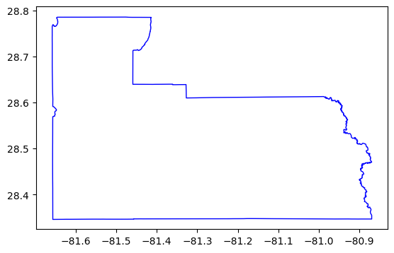
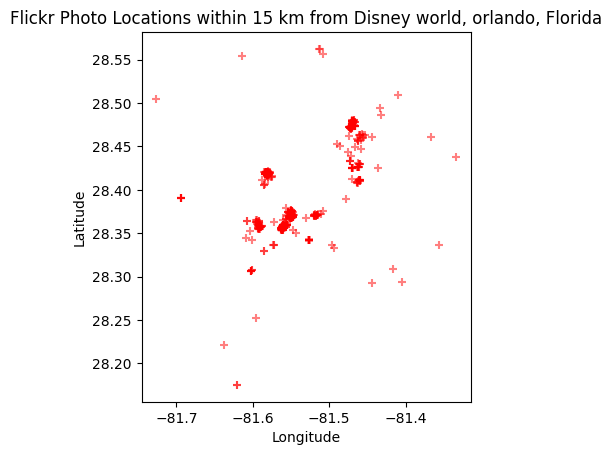
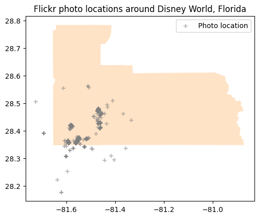
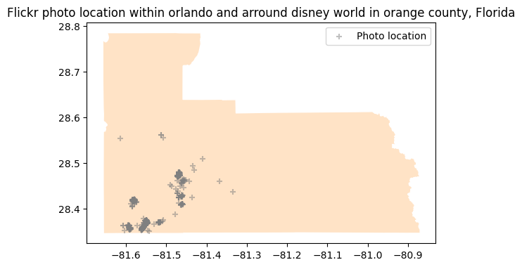
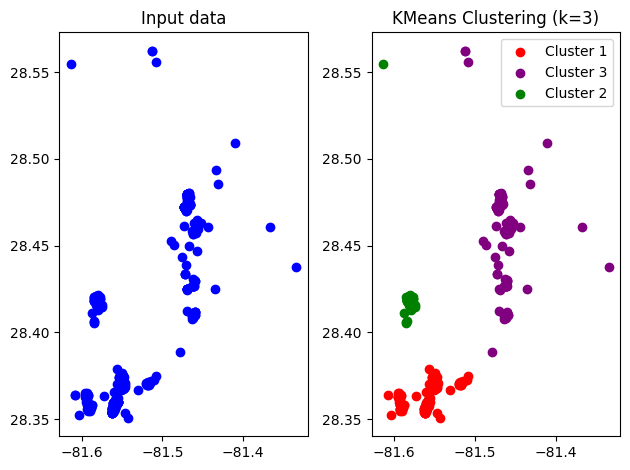
In this project, geospatial analysis techniques were employed to investigate the distribution and clustering of geotagged photos taken within the vicinity of Disney Land in Orange County, by utilizing the Flickr API. Firstly, the Orange County shapefile was converted into a geopandas object and Geoseries is used to create spatial boundaries and to enable spatial analysis. Spatial information on Flickr photos was then collected by webscrapping of data with Flickr api, and a spatial within analysis was performed to establish the number of photos taken within a specific spatial boundary. since Flickr photos are in point form, the K-means clustering method was used to group similar photos based on their spatial location, enabling the identification of spatial clusters of photos. Overall, this project demonstrated the effectiveness of geospatial analysis techniques in webscrapping, examining the distribution and clustering of photos taken within a particular area. The combination of geopandas, GeoSeries, Shapely and K-means clustering proved useful for analyzing and visualizing geospatial data.
** Visit my GitHub to view the code for analysis steps and visualization.