Beloit Farmers Market - Farmers Farm Network Analysis
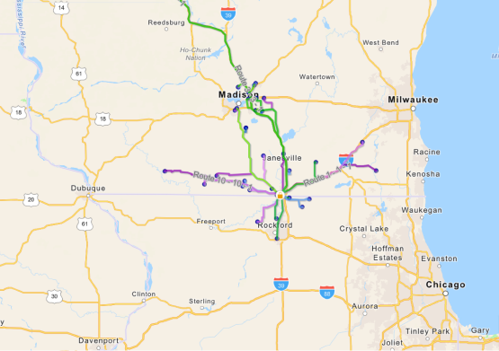
The Beloit Farmers Market Network Analysis, shows the spatial relationship between farmers' locations and the Beloit Farmers Market. Through geoprocessing techniques, the project calculates the distances between each farmer's location and the Beloit Farmers Market, as well as the estimated time taken to travel between these locations. By developing an application that integrates with the GIS data, users gain valuable insights into the products produced by each farmer. The application provides convenient access to information about the various agricultural goods available at the Beloit Farmers Market. Users can easily determine the number of farmers selling their products at the market and evaluate the distances and travel times required to deliver these products to the market.
** Visit my GitHub to view the code for analysis steps and visualization.